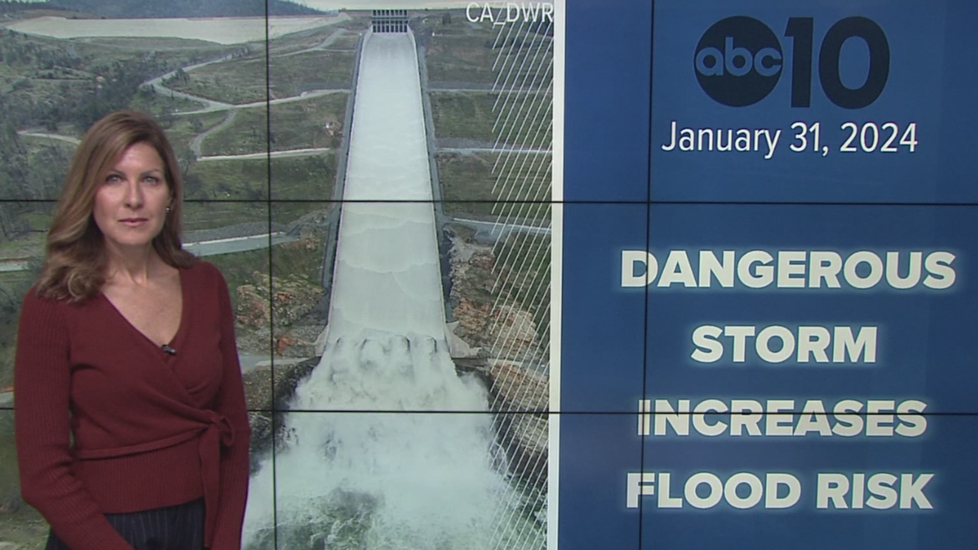
SACRAMENTO, Calif. — California is facing stormy weather as an atmospheric river is drenching the northern part of the state Thursday.
The storm forecast calls for periods of rain across the Sacramento Valley. Thunderstorms are expected Thursday afternoon. The snow level will continue to change so be prepared for on-and-off travel delays and possible chain controls as snow will fall at about 5,000 feet in the Sierra.
The National Weather Service issued a Flood Watch for parts of the Sacramento Valley because of rain runoff into the rivers and streams.
Many organizations are offering sand bags in Sacramento, San Joaquin, Solano, Stanislaus, El Dorado, Nevada, Tuolumne, Placer and Amador counties. Power outages have happened in many Sacramento-area neighborhoods.
GET STORM UPDATES: California Storm Watch: Rain and wind impact morning commute, chain controls in Sierra
STORM MAPS
Radar map from ABC10.com. Adjust the layers with a filter on the bottom right corner to show rain, snow, wind and current temperatures:
STORM RESOURCES:
► RESOURCES | Helpful information and emergency resources to get you through this storm
► FORECAST DETAILS | Check out our hourly forecast and radar pages.
► GET WEATHER ALERTS TO YOUR PHONE | Download the ABC10 mobile app
► WEATHER IN YOUR EMAIL | Sign up for the ABC10 Today newsletter
National Weather Service's Sacramento radar:
Power Outages
California OES power outage map is HERE or below:
PG&E power outages are found HERE:
TRAFFIC
Sacramento region traffic map:
Live map showing traffic conditions along Interstate 80, Highway 50, and Highway 89 around Lake Tahoe and the Sierra Mountains.
Snow Park locations are identified with purple markers.
STREAMING STORM COVERAGE WITH THE ABC10+ APP ON YOUR TV FOR FREE:
► Roku - click here
► Amazon Fire - click here
► Apple TV - click here
Sacramento Valley traffic from Waze (zoom in to where you want to go):
Click HERE for more ABC10 weather maps.
WATCH MORE: Megaflood: How the Sacramento region is preparing for potentially catastrophic flooding.


