
SACRAMENTO, Calif. — A winter storm is bringing light rain, cold temperatures and low elevation snow to the Northern California region this weekend.
A Winter Storm Warning is posted for the Sierra and went into effect Saturday at 7 a.m., continuing until 4 a.m. Sunday.
The storm is bringing dangerous travel conditions to the Sierra with multiple spin-outs and crashes reported Saturday, the California Highway Patrol's Truckee office said.
Due to the crashes over Donner Summit, officials have closed Interstate 80 westbound from the Nevada State Line.
All cars on I-80 are required to have chains from the Nevada state line to Colfax except for all-wheel drive cars with snow-tread tires.
On Highway 50, chains are also being required on cars traveling through El Dorado County.
"Weather conditions are deteriorating over Donner Summit," the CHP said in a post on X. "If you are not prepared for winter driving conditions, then we suggest you turn around and wait until the storm decimates."
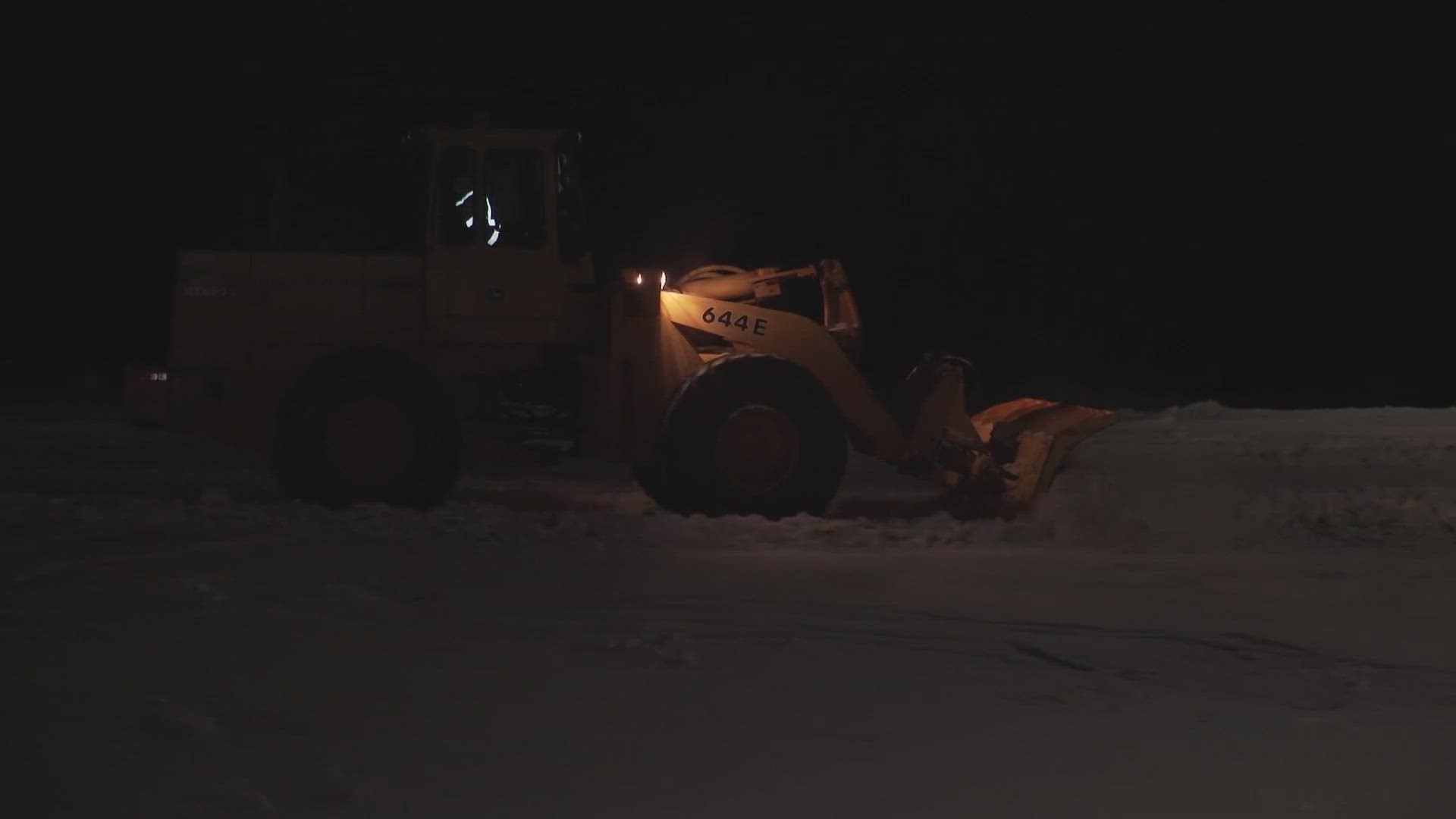
Early Saturday morning the storm began with scattered valley rain and Sierra snow. Snow levels will start around 3,000 feet, but will easily drop to 2,000 feet or lower at times.
Snowfall picks up in both coverage and intensity as the day goes on, with heavy snow across the Sierra by lunchtime Saturday.
Snowfall rates of 1 to 2 inches per hour are expected. Gusts will be close to 45 mph and whiteout conditions are possible throughout Saturday, making driving impossible at times.
Travel along I-80 and US-50 was expected to be extremely difficult — if not impossible — for parts of Saturday.
► RELATED: Storm Forecast Timeline: 2nd storm of the week to bring heavy snow to Northern California
Maps
Radar map from ABC10.com. Adjust the layers with a filter on the bottom right corner to show rain, snow, wind and current temperatures:
STORM RESOURCES:
► RESOURCES | Helpful information and emergency resources to get you through this storm
► FORECAST DETAILS | Check out our hourly forecast and radar pages.
► GET WEATHER ALERTS TO YOUR PHONE | Download the ABC10 mobile app
► WEATHER IN YOUR EMAIL | Sign up for the ABC10 Today newsletter
National Weather Service's Sacramento radar:
TRAFFIC
Sacramento region traffic map:
Live map showing traffic conditions along Interstate 80, Highway 50, Highway 89 around Lake Tahoe and the Sierra Mountains.
Snow Park locations are identified with purple markers.
Sacramento Valley traffic from Waze (zoom in to where you want to go):
Click HERE for more ABC10 weather maps.
WATCH MORE: Megaflood: How the Sacramento region is preparing for potentially catastrophic flooding.


