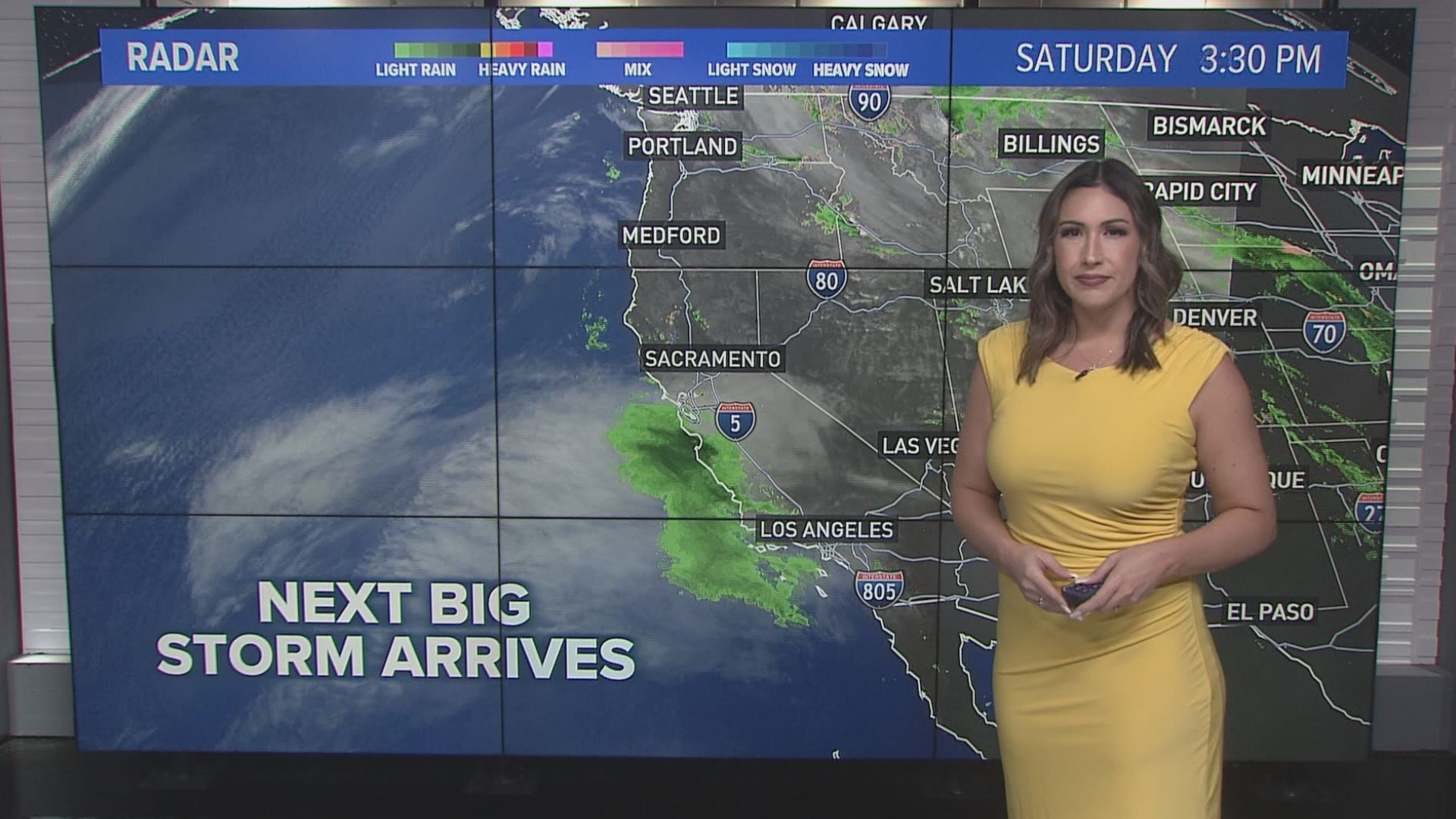
SACRAMENTO, Calif. — A second major storm will hit the Northern California region early Sunday morning, bringing heavy rain, strong winds and snow to the area.
A High Wind Warning is in effect for the Valley and Foothills through Sunday night, forecast to bring wind gusts over 60 mph, according to the National Weather Service, Sacramento. A Winter Storm Warning is in effect for the Sierra through Tuesday, impacting travel and making it nearly impossible as heavy snow drops in the region. A Flood Advisory is in effect through Monday for the Valley, possibly bringing mudslides, rockslides and flooding.
Here are some tools to help you through this storm as officials advise folks avoid any unnecessary travel.
Maps
Radar map from ABC10.com. Adjust the layers with a filter on the bottom right corner to show rain, snow, wind and current temperatures:
STORM RESOURCES:
► RESOURCES | Helpful information and emergency resources to get you through this storm
► FORECAST DETAILS | Check out our hourly forecast and radar pages.
► GET WEATHER ALERTS TO YOUR PHONE | Download the ABC10 mobile app
► WEATHER IN YOUR EMAIL | Sign up for the ABC10 Today newsletter
National Weather Service's Sacramento radar:
Power Outages
PG&E power outages.
TRAFFIC
Sacramento region traffic map:
Live map showing traffic conditions along Interstate 80, Highway 50, Highway 89 around Lake Tahoe and the Sierra Mountains.
Snow Park locations are identified with purple markers.
Sacramento Valley traffic from Waze (zoom in to where you want to go):
Click HERE for more ABC10 weather maps.
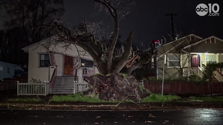
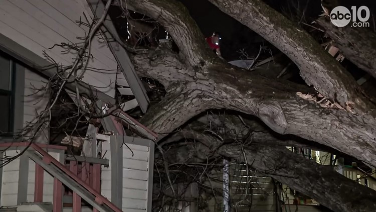
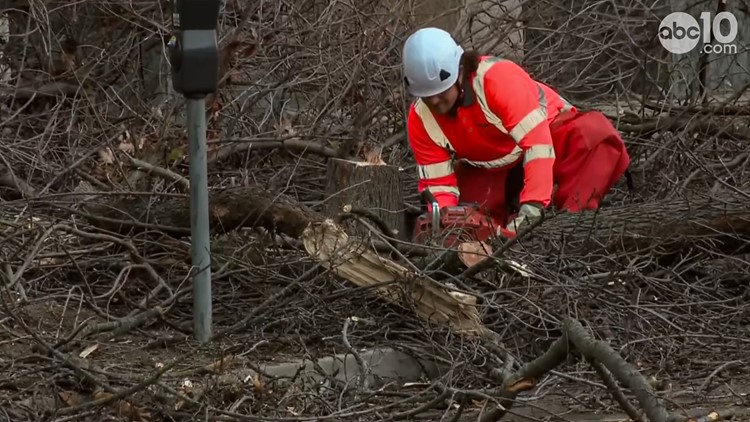
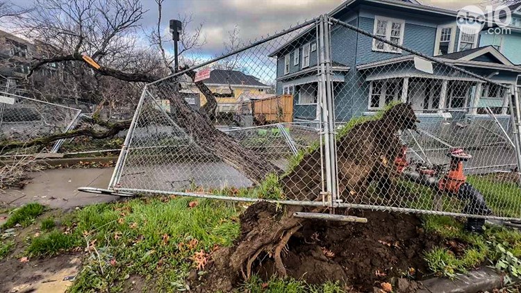
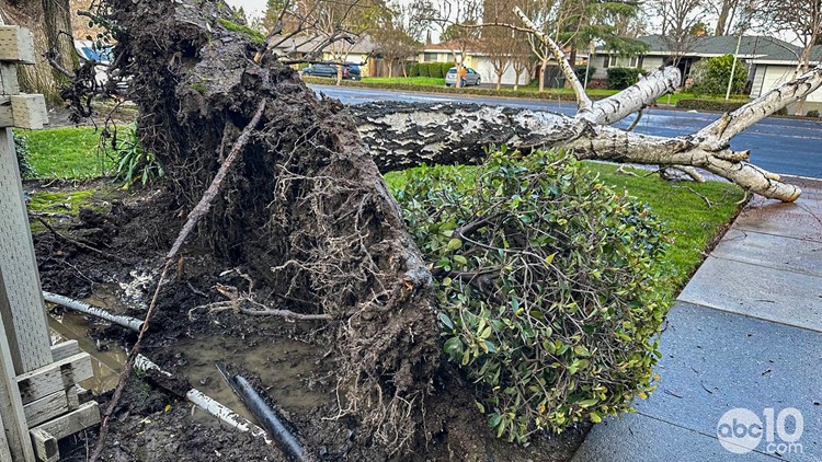
Storm damage in Sacramento after Northern California storms in early February 2024
WATCH MORE: Megaflood: How the Sacramento region is preparing for potentially catastrophic flooding.

