SACRAMENTO, Calif —
A strong system of low pressure off the coast of California and an associated atmospheric river has delivered impressive rain to Northern California with more soon on the way.
This storm already delivered healthy rain totals across Northern California and even a few thunderstorms in the early morning hours that woke up many across the region. As of noon Tuesday, Sacramento Executive Airport is reporting 1.82" of rain and the valley is expected to add another 0.5-1" by Wednesday night.
This is still a majority rain event due to high snow levels. The Central Sierra Snow Lab has yet to pick up any snow from this system, only rain. Snow levels have now dropped to around 7,000 feet and chain controls are in place across parts of the Sierra.
Tuesday night
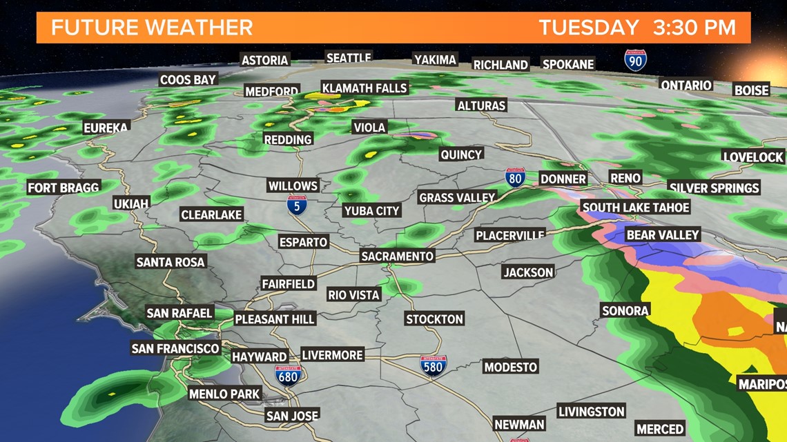
Futurecast is indicating the potential of thunderstorm development Tuesday afternoon.
Showers will continue Tuesday night and snow levels will drop to the 6,500-7,000 foot range thanks to a secondary center of low pressure that will sneak in behind the first, reinforcing the system will some colder air.
Expect another messy commute in the valley as more showers push through and slow travel across the Sierra with chain controls in effect.

Wednesday
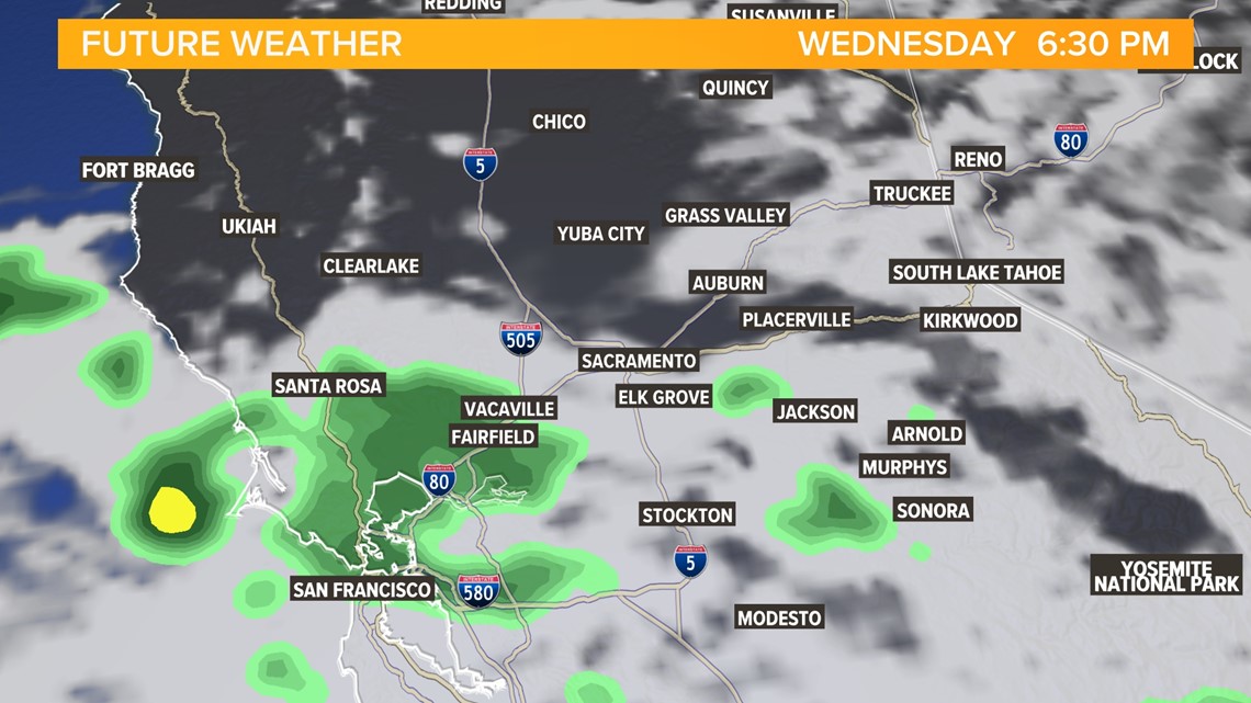
Rain and snow will be possible across Northern California throughout most of the day Wednesday, but by the evening the majority of the precipitation will be spreading south as the low follows the coast towards Southern California.
A few showers are still possible in the overnight hours but by the time the sun rises on Thursday the precipitation will be gone.

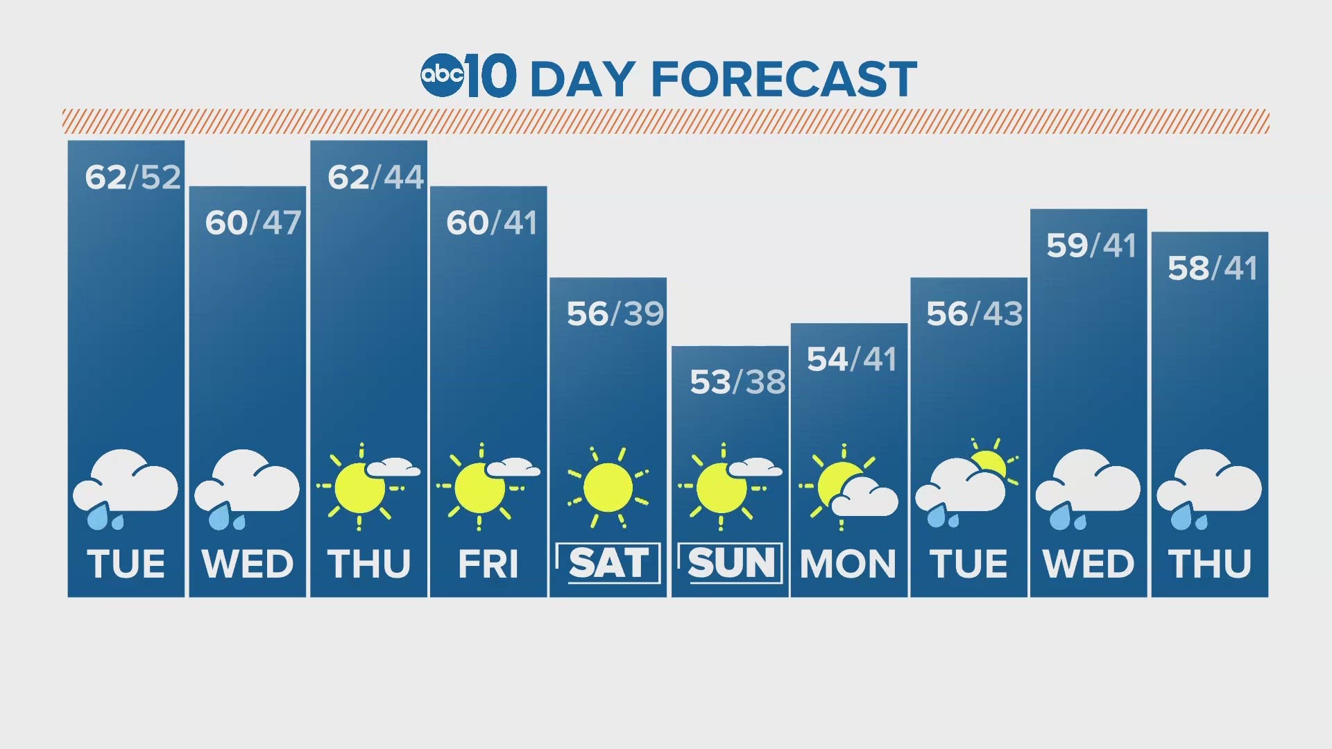
After Wednesday, a dry stretch is expected through Christmas. However, a strong Pacific jet stream is expected to deliver more storms to the region in the week sandwiched between Christmas and New Year's Day. The Climate Prediction Center favors warmer and wetter conditions through the end of the year.

